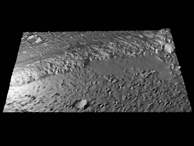
ADDITIONAL 3D RENDERING
ABOVE: Raw MGS images spliced north to south,
Mirrored horizontal
Applied Micrografx "stretch detail" filter.
Converted to Windows bitmap, .bmp
Extruded through RYU software, Landscape Maker
Imported into Truespace 3; source light left, filler light right
Exported to .jpg
Contrast adjusted, Photoshop
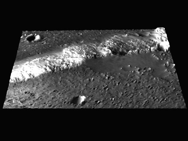
ABOVE: same steps as top with local texture applied with Truespace 3
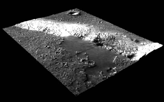
ABOVE: 3D made from NASAVIEW raw (line cutting across lake center is a data acquisition artifact.
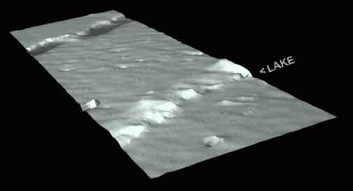
ABOVE: More of the strip showing the greater contour
ABOVE: Higher resolution raw image from NASAVIEW Software
Photoshop Detail, enlarged, colorized, sharpened
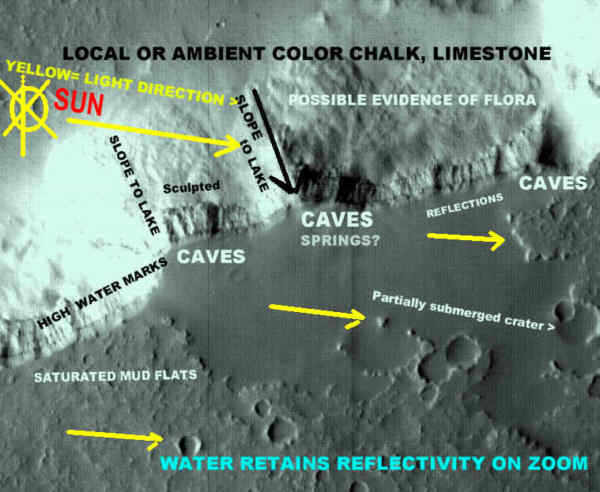
ABOVE: Locater
| .
THE CRACKED MIRROR THEORY AN ALTERNATE MODEL: PRESENTED BY A CRITIC . |
MGS RAW IMAGES (linked)
|
|
Subj:
Lake
Steadman
Date: 7/6/00 10:11:10 AM Pacific Daylight
Time
Your presentation on lake Steadman is quit impressive. The 3D images
you have posted have virtually removed any previous lingering doubts I
had.
I find the high water level markings very convincing. Apparently this
lake is sometimes much larger than the picture shows, covering what
appears to be mud flats to the bottom and left. What we need to do is
to come up with another picture taken at a different time of the year.
There are obviously level changes that take place, and with the mud
flats off to the left, it would take very little change in water level
to modify this shoreline significantly. It it reached the high water
level it appears it would cover much of the mud flat growing in size
tremendously.
Keep up the good work.
Marshall
 |
 |

