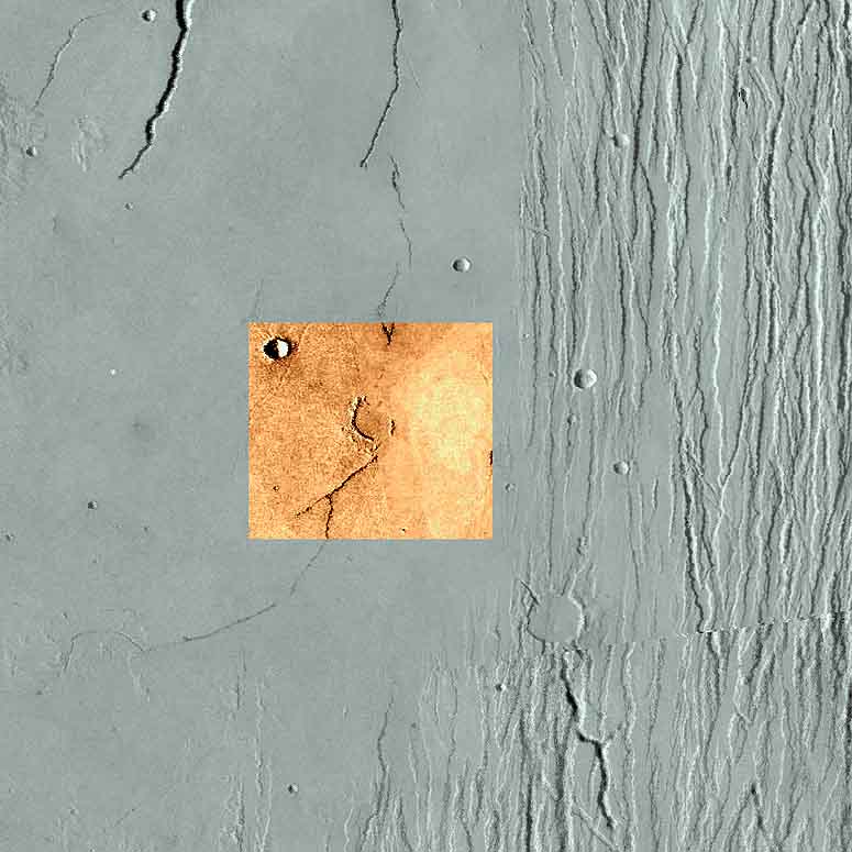
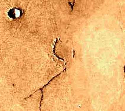
FORMATION ON MARS AT 25 LAT X 111 LONG
Image size = 1024 rows by 1024 columns.
Resolution = 256 pixels per degree = 0.23 kilometers per pixel = 0.14 miles per pixel.
Top Latitude = 26.000000 degrees north.
Bottom Latitude = 22.000000 degrees north.
Left Longitude = 112.000000 degrees west.
Right Longitude = 108.000000 degrees west

Continuing with updates on The Miami Circle, recall that Richard C. Hoagland gave GPS (global positioning satellite) readings to me over the phone on Feb.5, 1999 ... readings that he had taken himself.
Again, here are my figures for Munck-matrix valid coordinates, based on Mr. Hoagland's GPS readings ...
Grid LAT 25 (deg) X 46 (min) X 9.391304348 (sec) North = 10800 North
Grid LONG 111 (deg) X 19 (min) X 19.83320063 (sec) W.Giza = 41828.22014 W.Giza
[ W.Greenwich 80 deg 11 min 19.03320063 sec ]
Grid POINT Value 41828.22014 / 10800 = 3.872983346
