Date: 3/7/01 7:31:42 AM Pacific Standard Time
Kent, Attached you will find 3 pictures I downloaded.
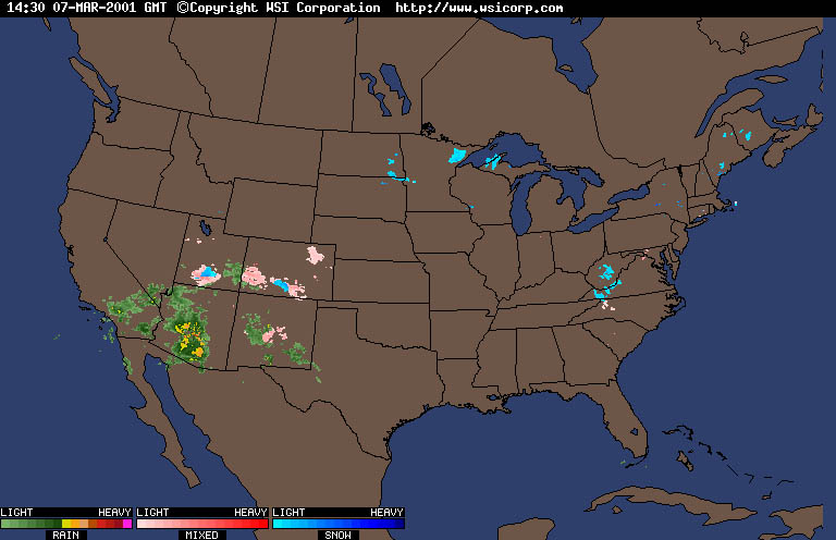
1. The first one (usa_radar) I got from http://weather.yahoo.com/graphics/radar/US.html. It shows a very active radar pattern throughout most of the US.
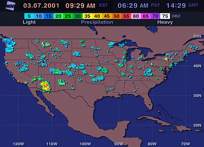
2. The second one (intellicast)was downloaded at the same time. Now compare the images. I'm beginning to wonder if these images were taken of the same US of A! The first one is VERY Active, and the 2nd shows almost nothing!
3. The third one (scary) is what makes me wonder. I took the first image, and drew lines that connected the storms up. Is it just me, or does it look like a giant grid? Can you explain this?
Please note, if you constantly check out the yahoo weather, you will see the "radar rings" a lot. Furthermore, this is not the first time I've lined up the storms on this radar. It seems to happen almost daily.
Thanks for listening!