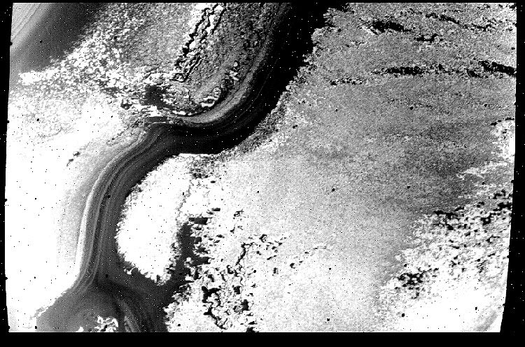
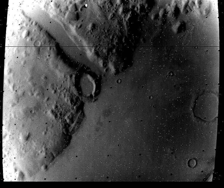
The first real mapping of Mars was done by the Mariner 9 Spacecraft,
launched, 30 May 1971. We are re-discovering the data. Question: was Mariner
9 data less censored than returns from missions to follow? Take a look, more
to follow as ye old Editor searches, enhances and finally cranks out the
images.Perhaps this will add clues in the search for the Seven Cities
of Mars.
EDITOR: I'm getting slightly blown
away by these images. I see a slightly different Mars than Viking, Surveyor
and other probes. The data seems raw, less tweaked, more atmospheric and
yes, watery. The images are going up randomly as I find them. Hopefully other
researchers and SLEUTHS will help
me identify the regions, organize, help find
Cydonia,
Elysium,
and other key sites such as ruined cities, pyramids, the Face! I'm putting
the
CD
catalogue number on each image with a corresponding link to view other
images in the series. At *page-bottom is the link
for more wondrous Mariner 9 images.
Enhancements: convert the IMG format
to GIF with NASAVIEW, stretch detail with MICROGRAFX, convert to JPG and
crunch for web presentation with PHOTOSHOP.