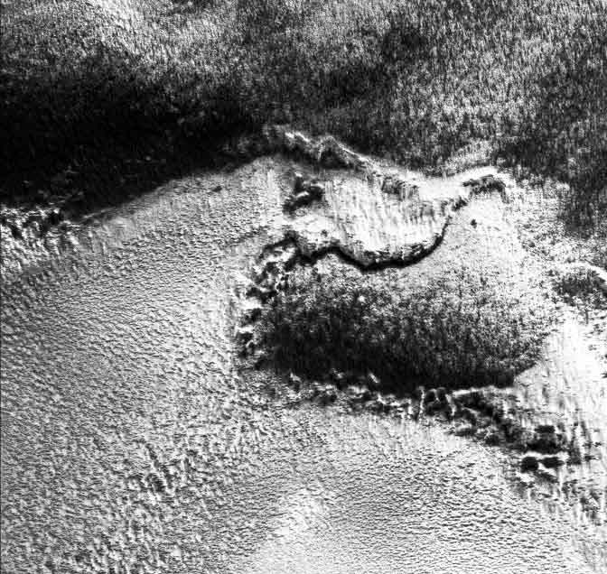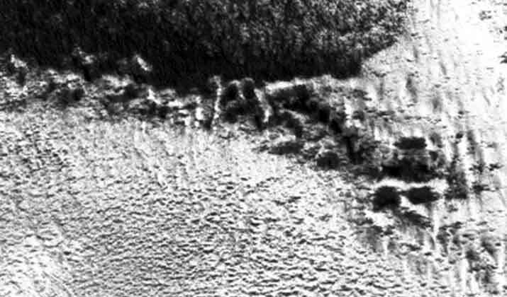
This image is about 3.25 km across. Scroll down for image acquisition parameters.

http://ida.wr.usgs.gov/fullres/divided/m01000/m0100036a.jpg


http://ida.wr.usgs.gov/html/m01000/m0100036.html
Acquisition parameters
Image ID (picno): M01-00036 Image start time: 1999-05-06T02:12:53.96 SCET Image width: 672 pixels Image height: 6144 pixels Line integration time: 0.4821 millisec Pixel aspect ratio: 0.87 Crosstrack summing: 3 Downtrack summing: 3 Compression type: MOC-PRED-X-5 Gain mode: 0A (hexadecimal) Offset mode: 44 (decimal) |
Derived values
Longitude of image center: 189.10°W Latitude of image center: 77.32°N Scaled pixel width: 4.86 meters Scaled image width: 3.28 km Scaled image height: 26.20 km Solar longitude (Ls): 134.53° Local True Solar Time: 3.35 decimal hours Emission angle: 0.15° Incidence angle: 80.66° Phase angle: 80.75° North azimuth: 256.95° Sun azimuth: 304.93° Spacecraft altitude: 436.35 km Slant distance: 436.35 km |
| Parameters for MOC Standard Data Product m0100036 | ||||||||||||||||||||||||||||||||||||||||||
|---|---|---|---|---|---|---|---|---|---|---|---|---|---|---|---|---|---|---|---|---|---|---|---|---|---|---|---|---|---|---|---|---|---|---|---|---|---|---|---|---|---|---|
|
|
|
||||||||||||||||||||||||||||||||||||||||
| Image Description: Sample bright north polar ice cap outlier |
||||||||||||||||||||||||||||||||||||||||||